
GPS Waypoints: What They Are and How to Use Them
A parking spot, a scenic viewpoint, a place discovered during a trip, there are locations worth remembering. Discover what GPS waypoints are, how they work and why they can be useful in everyday life.
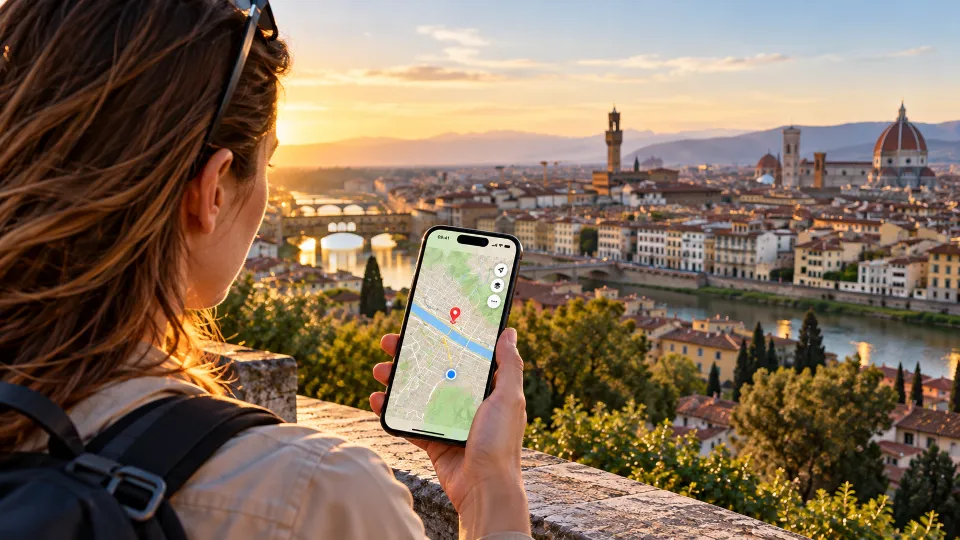
GPS Waypoints: What They Are and Why They Can Be Useful
A parking spot, a scenic viewpoint, the beginning of a trail or a place discovered by chance, there are places we'd like to find again even when we don't know their address. Discover what GPS waypoints are, how they work and why they can become valuable during a hike, a trip or in everyday life.
There Are Places Worth Remembering
You're walking along a trail through the woods, at a certain point you reach a small clearing that opens onto an unexpected view.
You stop, admire the landscape, perhaps take a photograph and then continue walking.
A few weeks later you'd like to return to that exact spot, but you can't remember precisely where it was.
There was no sign, you didn't know the name of the place and there probably isn't even an address to search for on a map.
Or imagine a more everyday situation, you've parked your car near the entrance to a large nature park, started walking and after a few hours you need to find the place where you started.
In both cases, what you need isn't necessarily a complete route, but a precise geographic reference.
A point to remember.
That's exactly what GPS waypoints are for.
What Is a GPS Waypoint
A waypoint is a geographic point identified by its coordinates, usually latitude and longitude.
Latitude indicates a position relative to the equator, while longitude indicates a position relative to the Greenwich meridian.
Together, these two pieces of information make it possible to identify a place on the Earth's surface.
When you use a GPS application, you can save a location and keep it as a reference for the future.
That point becomes a waypoint.
It can represent a place you've visited, a destination you'd like to reach, a point of interest or simply a location you want to remember.
Unlike a traditional address, a waypoint doesn't necessarily require a street name, a building number or the presence of a building, it can be in the middle of a forest, along a beach, on a mountain trail or anywhere else where a geographic position can be identified.
This is one of the most interesting features of GPS, the ability to identify even places that don't have an address.
What Are Waypoints Used for in Everyday Life
When we talk about waypoints we often think of hiking navigation, but their possible uses are much broader.
A waypoint can be useful whenever you want to save the location of a place, find your car after a hike, you've left your car in an unpaved parking area, near the entrance to a trail or along a mountain road.
Before setting off you can save the parking location, so you have a geographic reference to consult when it's time to return. This is particularly useful in unfamiliar places, where parking areas don't have easily recognizable names.
Remembering a scenic viewpoint During a walk you discover a spot with an extraordinary view, you can save its location to return in another season, perhaps to photograph the landscape in different light.
Marking the beginning of a trail Not all trails start at clearly identifiable entrances.
A waypoint can help you remember where an access point, a junction or a useful landmark along a route is located.
Saving the location of a photography spot Anyone who loves photography knows the value of a particular location, a beach, a panoramic terrace, a building seen from an unusual angle or a natural landscape can become places you'd like to return to.
Saving a waypoint allows you to preserve the geographic reference even a long time afterward.
Finding a place discovered during a trip While walking through an unfamiliar city you might come across a small square, a viewpoint or a hidden corner that doesn't appear in travel guides. You may not always remember the street name, but you can save the location and find it again in the future.
Identifying a meeting point During an outdoor activity, a waypoint can serve as a reference that can be shared with other people. However, it's important to remember that knowing a point's coordinates doesn't necessarily mean you can reach it by a safe or accessible route.
Waypoints and GPS Tracks, What's the Difference?
Waypoints and GPS tracks are often used together, but they represent different information.
A waypoint identifies a single geographic location, a GPS track, on the other hand, is a sequence of points recorded during movement, allowing you to reconstruct the route traveled.
Imagine starting from a parking area, walking through a forest and reaching a scenic viewpoint.
You can save the parking area as a waypoint, record the route you're following as a GPS track and save the viewpoint as a second waypoint.
At the end of your hike you'll have two types of information.
Waypoints will help you identify important places, while the track will represent the route you followed to reach them.
The difference is simple, a waypoint tells you where a place is, a GPS track tells the story of how you traveled.
They're complementary tools, not alternatives.
How to Use Waypoints with GeoFix
GeoFix allows you to use waypoints as geographic references while exploring your surroundings.
When you find a place you want to remember, you can save its location and keep it among your geographic points.
A waypoint can become a reference to consult later on the map, even during another outing.
You can use it to identify a parking area, remember a scenic location or save a point of interest encountered along a route.
The advantage is being able to separate important places from the entire itinerary.
You don't need to record a complete route every time you want to remember a location.
Similarly, while recording a GPS track you can identify places worth saving as specific references.
With GeoFix, waypoints and routes therefore help build a personal representation of the places you've explored.
A map made up not only of roads and trails, but also of points that have meaning to you.
A Waypoint Indicates a Location, Not Necessarily a Route
There's an important aspect to understand when using waypoints.
GPS coordinates identify a geographic location, but they don't automatically provide information about whether it can be reached.
A waypoint might be beyond a river, behind a rock face, inside private property or in an inaccessible area.
Even when the point appears nearby on the map, the route required to reach it could be much longer.
Furthermore, GPS accuracy isn't absolute.
Satellite signal quality, the presence of buildings, dense vegetation, rock faces and environmental conditions can affect the position detected by your smartphone.
A waypoint saved in an area with poor reception might therefore not correspond perfectly to the intended location.
That's why it's important to use waypoints as geographic references, always combining them with map reading, knowledge of the terrain and an assessment of actual conditions.
Especially during hikes, a saved point shouldn't be interpreted as a guarantee of safety or accessibility.
From Waypoints to Augmented Reality with GeoFix AR
We're normally used to viewing waypoints on a map, represented by symbols or geographic markers.
But when we're physically in a place, our perspective is different.
We don't see the terrain from above, we see roads, buildings, trees, mountains and horizons.
With GeoFix AR, augmented reality makes it possible to connect available geographic references with what we see through our smartphone's camera.
A waypoint can therefore become a visual reference relative to the direction we're looking.
Imagine standing on a seafront promenade and wanting to identify the direction of a saved place, or being at a scenic viewpoint and looking for a geographic reference in the landscape.
Augmented reality adds a different way of interpreting this information.
It doesn't replace the map and doesn't guarantee that a point can be reached directly, but it can help you understand the relationship between a saved location and the surrounding environment.
It's a connection between the world of coordinates and what we see in front of us.
Waypoints Can Become a Memory of Your Travels
Over time, saved waypoints can tell something about our experiences.
The parking area where a hike began, the scenic viewpoint reached after a long climb, a beach discovered during a vacation or a place where we took a special photograph, these are geographic locations, but they can also represent memories.
Sometimes we save a place because we know we'll return, other times simply because we don't want to forget it.
A waypoint allows you to preserve a concrete reference, something that remains on the map even after the journey has ended.
And when we decide to return, we won't have to rely on memory alone.
Small Points, Great Possibilities
GPS is often associated with navigation, routes and the ability to know your position.
But one of its simplest functions is also one of its most useful, remembering where a place is, whether it's a mountain summit, a parking area, a scenic viewpoint or an unfamiliar corner of your city.
A waypoint turns a location into a reference you can save and find again.
With GeoFix you can add these points to your routes and use them to better understand the places you explore.
Because there are places that don't have an address, but can still have a place on your map.
Discover Waypoints with GeoFix
Save the places you want to remember, record your routes and explore your surroundings with GeoFix's GPS tools.
Discover GeoFix at geofixgps.com
GeoFix, wherever you go.