
How to Find Your Car After a Hike in the Woods
The woods are full of trails to discover, but finding the right way back isn't always easy, discover how to explore freely, without losing your way back to your car.
There Are Places That Have No Address
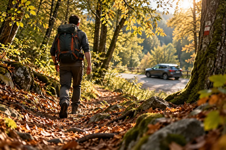
It's early morning, you leave your car at the edge of a forest, grab your backpack, close the door and start walking.
The air is cool, the silence is broken only by the sound of your footsteps, one trail winds through the trees, another opens up a little further ahead, you stop to look at something, perhaps you find a few mushrooms, take a photograph and decide to keep going.
You don't have a specific destination, and that's exactly what makes it special.
Time passes, the landscape changes and, without realizing it, you've wandered quite far from your starting point.
Then it's time to head back.
You look around, all the trees seem the same, the trails intersect and that bend you remembered is no longer so easy to recognize.
Which way did you leave your car?
It's a more common situation than you might imagine, and it doesn't just happen to people who venture into remote areas but can occur during a walk in the woods, a day spent mushroom hunting or a hike along poorly marked trails.
Why It's Easy to Lose Your Bearings in the Woods
When we walk through a natural environment, we often rely on visual memory, a particular tree, a fork in the trail, a clearing, but these landmarks can be misleading.
A trail viewed from the opposite direction can look completely different, vegetation hides landmarks and, when we focus on our surroundings, we can lose track of how far we've traveled.
A smartphone, if used only to consult an online map, might not be enough, in forests and mountainous areas cellular coverage can be weak or unavailable.
The solution isn't to give up exploring, but to prepare for the return journey before you even set off.
Before Entering the Woods, Save Your Car's Location
A simple habit can make a big difference, saving the location where you parked.
With GeoFix you can save your car's location as a waypoint, giving it a recognizable name, for example "My Car" or "Starting Parking Spot", this way you'll have a geographic reference to consult when it's time to head back, it's a small action that takes just a few moments, but can prove extremely useful after hours spent following trails and taking detours.
Remember that a waypoint indicates a location, it doesn't guarantee, on its own, that the direct route to reach it is safe or passable.
Every Journey Leaves a Track
Saving your parking location is useful, but there's something even more interesting, preserving the route you're taking.
With GeoFix you can start recording your GPS track before beginning your hike.
As you walk, the app records the positions detected by your device, progressively building a track of your route.
It doesn't matter whether you follow a straight route, change direction or decide to explore a detour, the track preserves the story of your movements, within the accuracy limits of the GPS signal.
When you stop to look at your route on the map, you'll be able to see not only where you are, but also where you've been, because sometimes the most important thing isn't knowing where to go, but remembering where we came from.
Track Back: The Way Home
Imagine you've reached the heart of the forest, you've spent a wonderful morning exploring, but now you want to return to your car, you don't remember every fork in the trail and you're not sure you'll recognize the path you took on the way in.
This is where Track Back comes in, the GeoFix feature designed to help you retrace your recorded track toward your starting point. Instead of relying solely on memory, you can use the route you've already traveled as a reference for your return journey, the track becomes a guide to help you find your bearings, recognize detours and check whether you're heading in the right direction.
Of course, terrain conditions can change, a trail might be blocked, slippery or no longer passable, the GPS track is a navigation aid, it doesn't replace awareness, route assessment and normal safety precautions.
What If There's No Internet Connection in the Woods?
It's one of the most important questions, GPS isn't the same thing as a cellular network.
Your smartphone's GPS receiver determines your location using satellite signals and doesn't, in itself, require an Internet connection. This means you can continue tracking your position and recording a route even where your phone has no cellular coverage, provided the device can receive satellite signals adequately.
Displaying maps, however, is another matter, if maps need to be downloaded from the Internet, they might not be available without a connection.
GeoFix also offers offline maps, which you can download before setting off for supported areas.
Preparing your maps in advance means you can consult the available details even when there's no cellular signal.
It's important to remember that dense forests, rock faces and other obstacles can reduce GPS accuracy, while offline map availability depends on the areas you've actually downloaded.
Five Good Habits Before a Hike
Technology is most useful when combined with good preparation.
- Check your route, learn about the area, terrain conditions and difficulty of the trail.
- Save your parking location, record your car's position before walking away.
- Start GPS recording, do it before you begin walking, not when you've already lost your bearings.
- Prepare offline maps, download the maps you need in advance and check that they're accessible without a connection.
- Check your battery and safety conditions, carry enough power, let someone know your planned route and don't rely exclusively on your smartphone.
If you lose your bearings, avoid wandering aimlessly, stop, assess the situation and check the available landmarks, if you're in difficulty or danger, contact emergency services whenever possible.
Exploring Also Means Knowing How to Get Back
A forest isn't just coordinates, trails and distances, it's the scent of the earth after rain, the light filtering through the trees, the pleasure of discovering something you hadn't planned.
These are the moments that make a hike special, technology shouldn't replace the experience, it should accompany it, giving you more freedom to observe the world around you.
GeoFix was created for this too, to help you record your routes, preserve important places and have a reference when it's time to head back.
Because there are places that have no address. But you can carry the way back with you.
Discover GeoFix GPS
Record your routes, save waypoints, prepare offline maps and discover the Track Back feature.
Discover GeoFix at geofixgps.com
GeoFix, wherever you go.